
Course about Topography and 3D terrain modeling
In About Tknika
This post is also available in the following languages: Euskara, Español
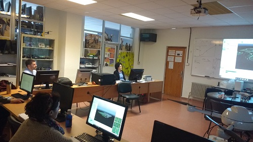
On May 21th and 22th, Tuesday and Wednesday respectively a course was given at CIFP Bidasoa, focused on the use of drones for land surveying and 3D modeling applications.
With the participation of Dani Tena, it was shown how to use photogrammetric methods; analyzing the steps to be taken during the whole process, through the study of a real case.
By this way, a general overview of the work carried out to in the VET system in relation to this field was shared with the attending teaching staff; and in this way the necessary bases were strengthened to be able to take the next steps in this field.